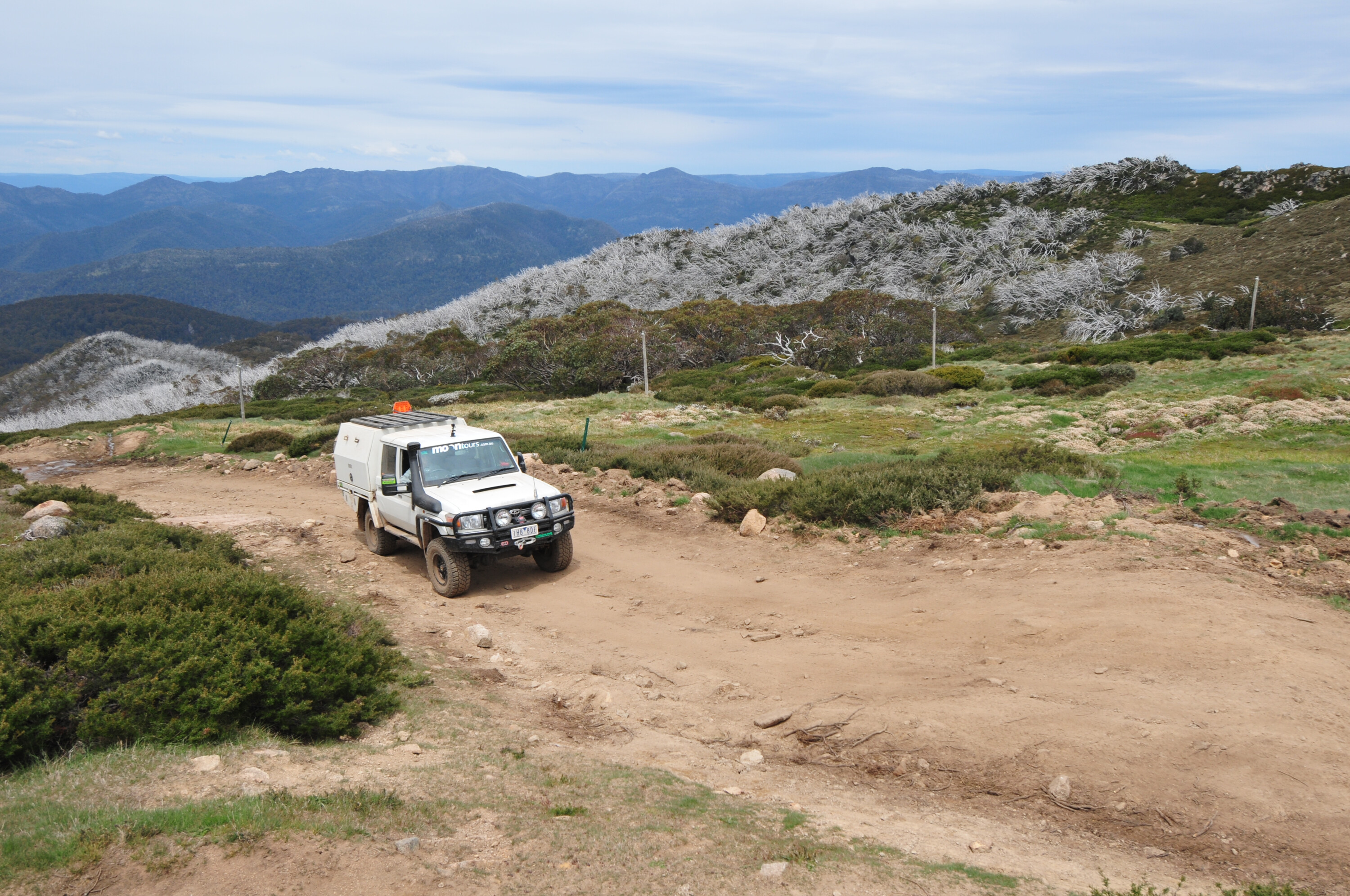
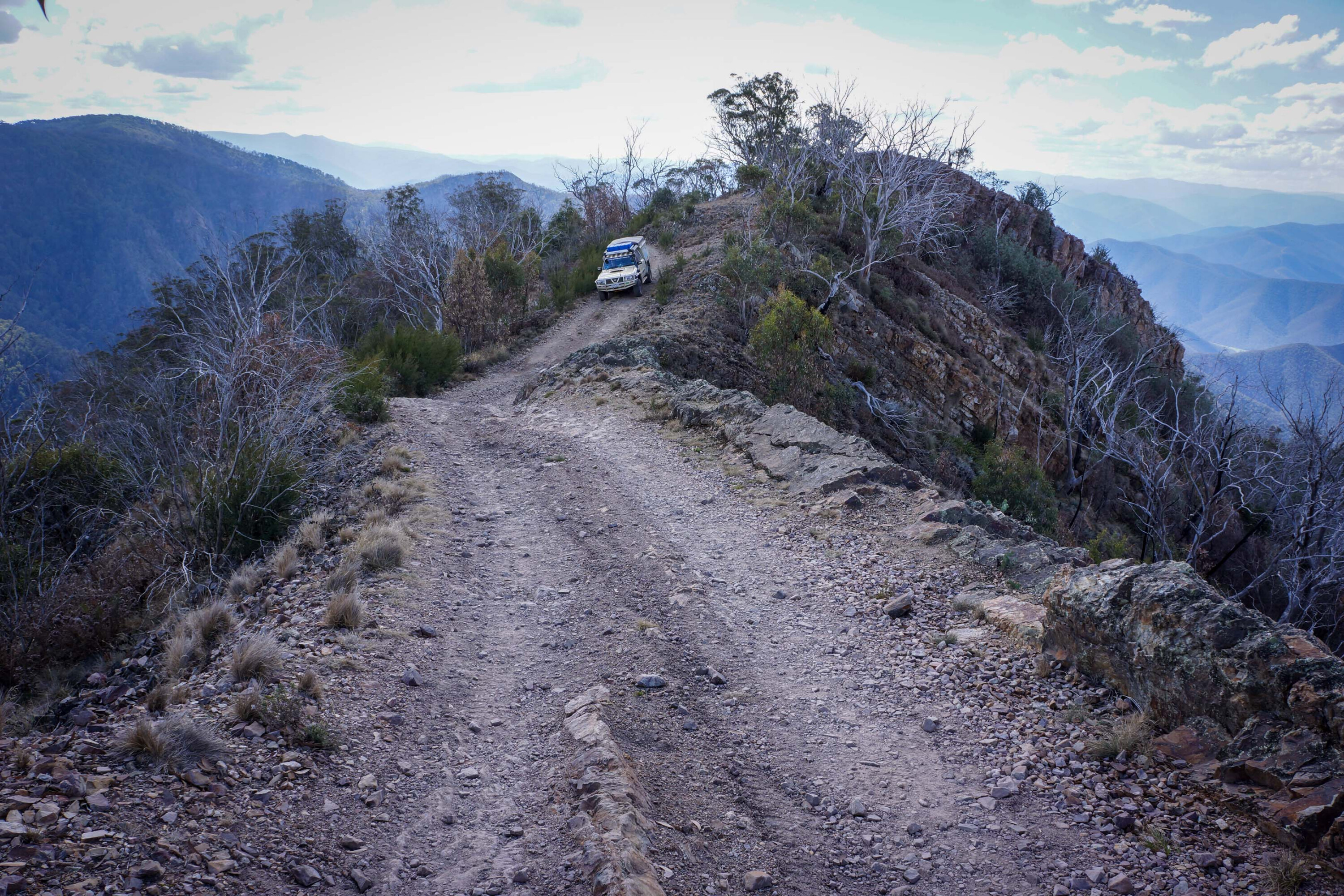
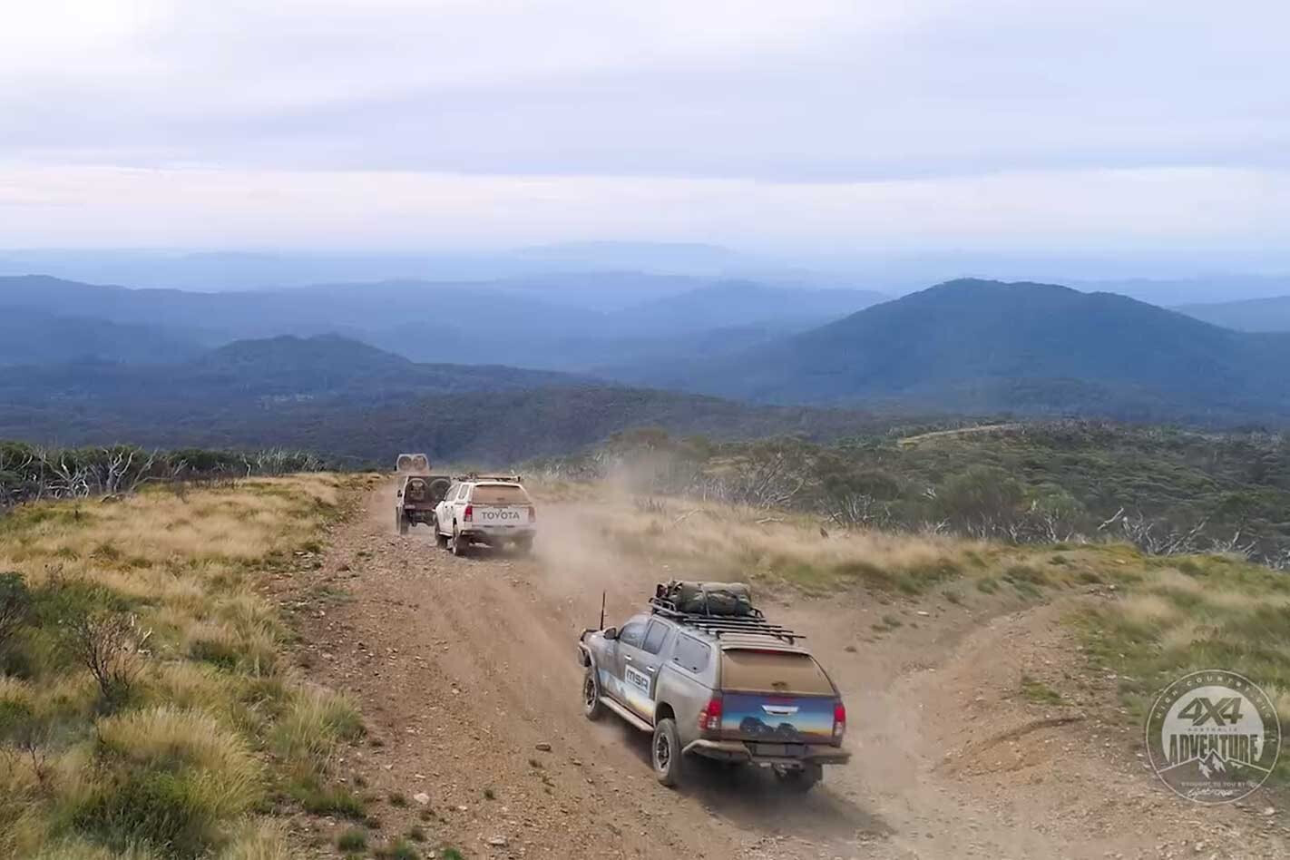
The track was narrow, rocky and rough as it edged along the side of an almost sheer mountain peak in the heart of the Victorian mountains west of the tourist resort of Mount Hotham.
We had wanted to camp out at Devils Hollow but the track to this interesting spot was closed, and while the camping possibilities at this location had been severely reduced by over-zealous Park officials, it is still a favoured spot to set up the camper or throw down the swag.
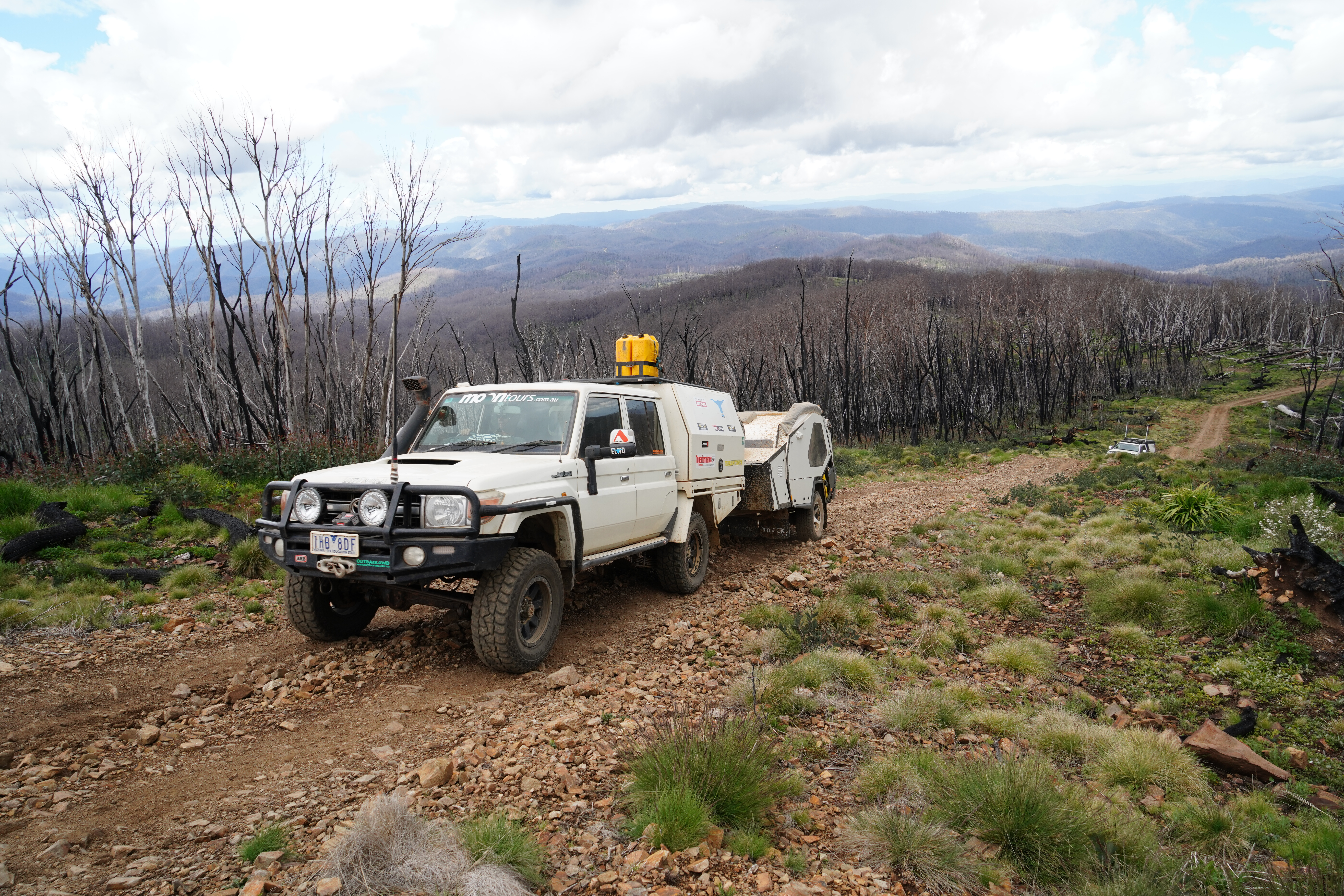
Be warned though: it’s pretty exposed and earlier last year (in April) my son and his tour group (Moon Tours) had woken to 100mm of snow surrounding their campers.
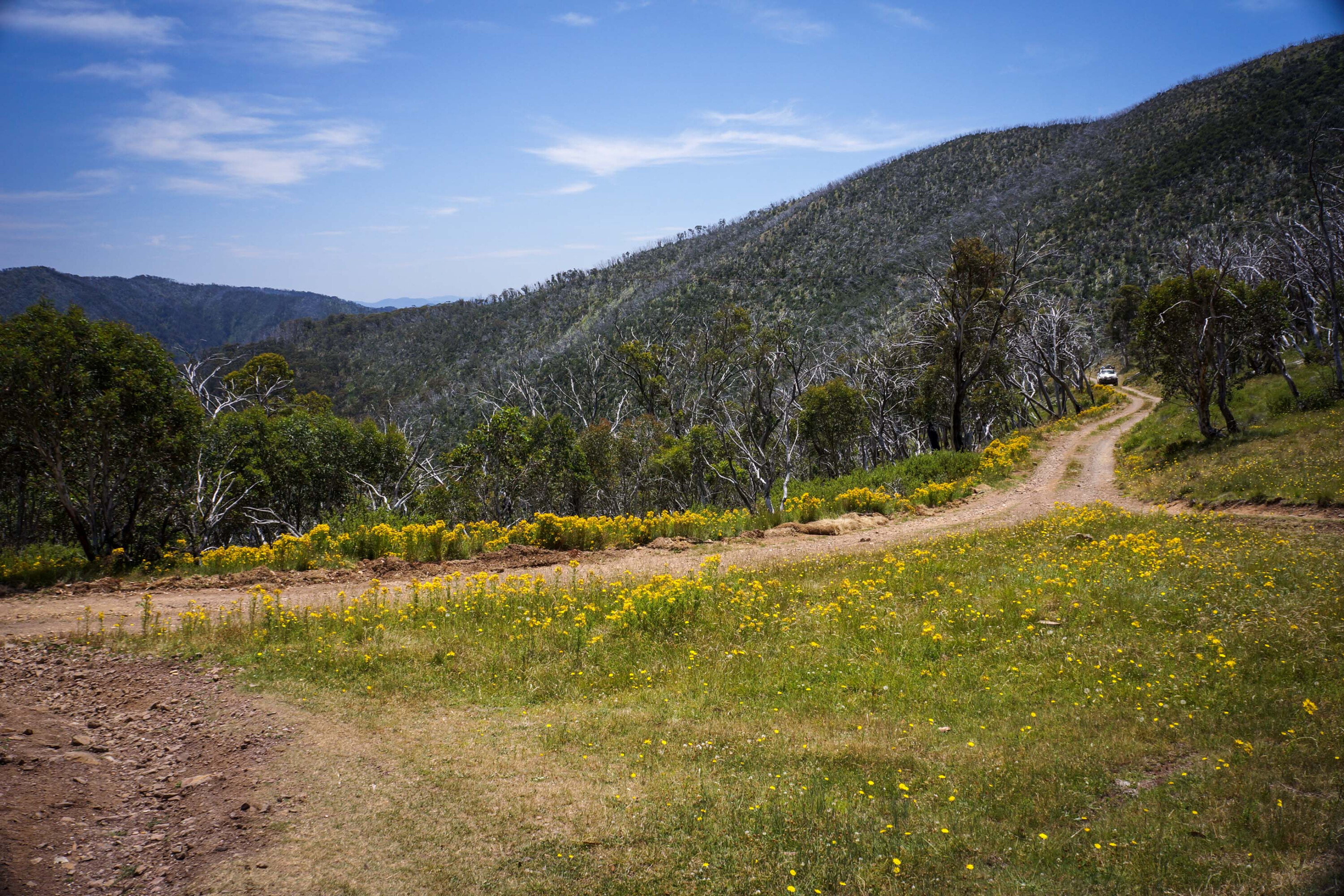
Now we were on the Twins Jeep Track, which is just one of many iconic tracks in the Victorian High Country. While not as well known as the nearby Blue Rag track that climbs the peaks to the south to the top of Mount Blue Rag, which we had driven earlier, Twins Jeep Track gives great views over the mountains to the north and west.
To the north Mount Feathertop stands dominant while to the west Mount Buffalo can often be seen raising its lumpy plateau above the lesser ridges of the surrounding ranges. About halfway along, a steep track veers off the main route and climbs the nearby Mount Murray, its bulk and ridge blocking views to the south.
Twins Jeep Track is not the place to meet any oncoming traffic and we were lucky that the only group we met during our foray along it were a couple of motorcycle riders testing their skill, agility and endurance on the rough, narrow trail.
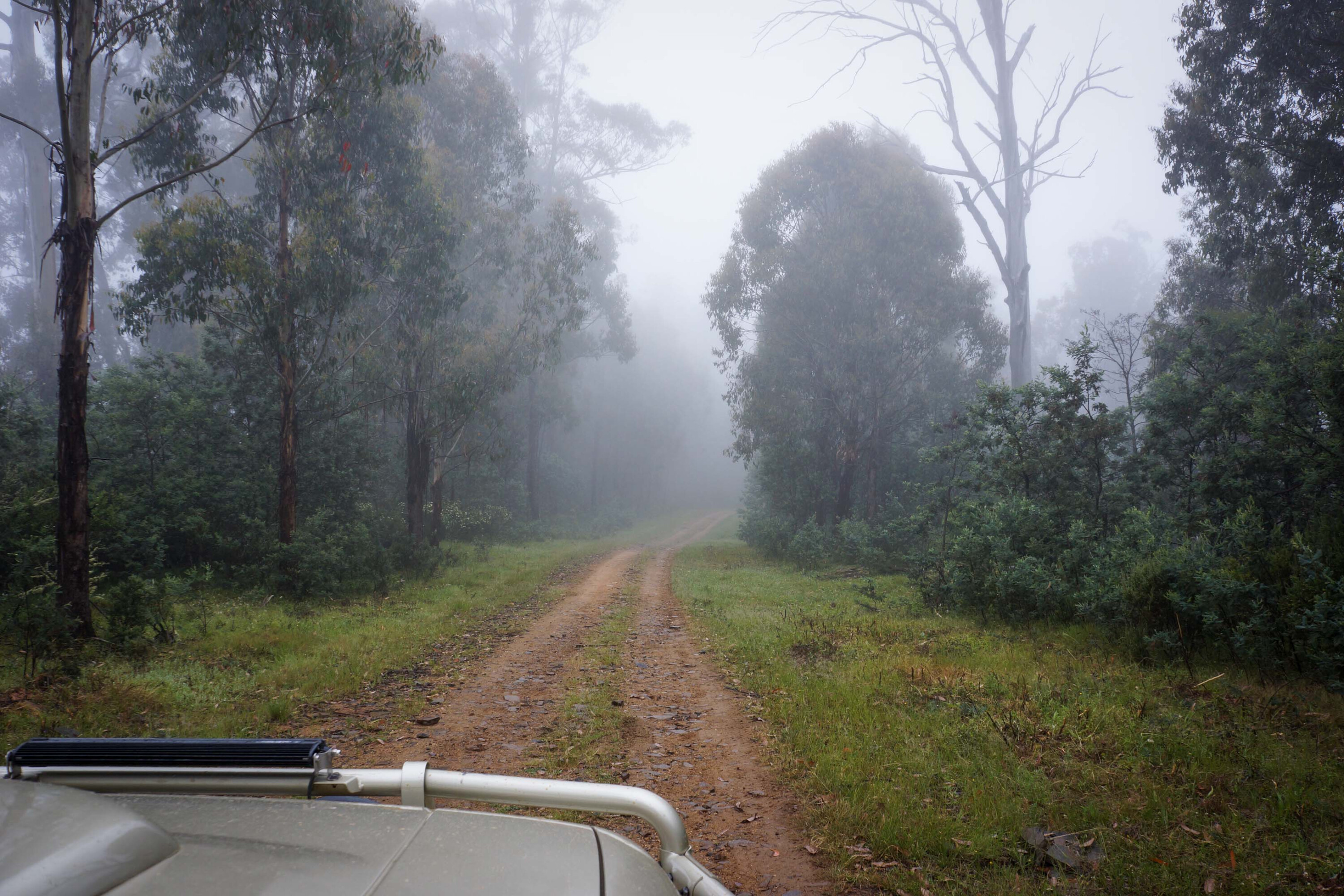
This latest trip into the heart of the High Country had started a week or so earlier in Corryong.
We headed south to Gibsons Hut and then to Wheelers Creek Hut, located as it is on a small flat beside the creek of the same name. Both of these huts had been destroyed by large bushfires a few years previously but hard work by the High Country Huts Association and Parks Victoria has seen them restored to their former usefulness.
Normally from either of these huts we climb the rutted and eroded track to the crest of Mount Pinnibar, one of the highest peaks you can drive to in the High Country, but track closures were still in place for this peak so we wandered south on other less forbidding trails till we hit Beloka Road just south of the pleasant campsites to be found at Buenba Gap.
Pushing on we passed the wedge-shaped bulk of Pendergast Lookout and just a short distance on, Macfarlane Lookout, both peaks honouring the first cattle pioneers that opened this country up to Europeans.
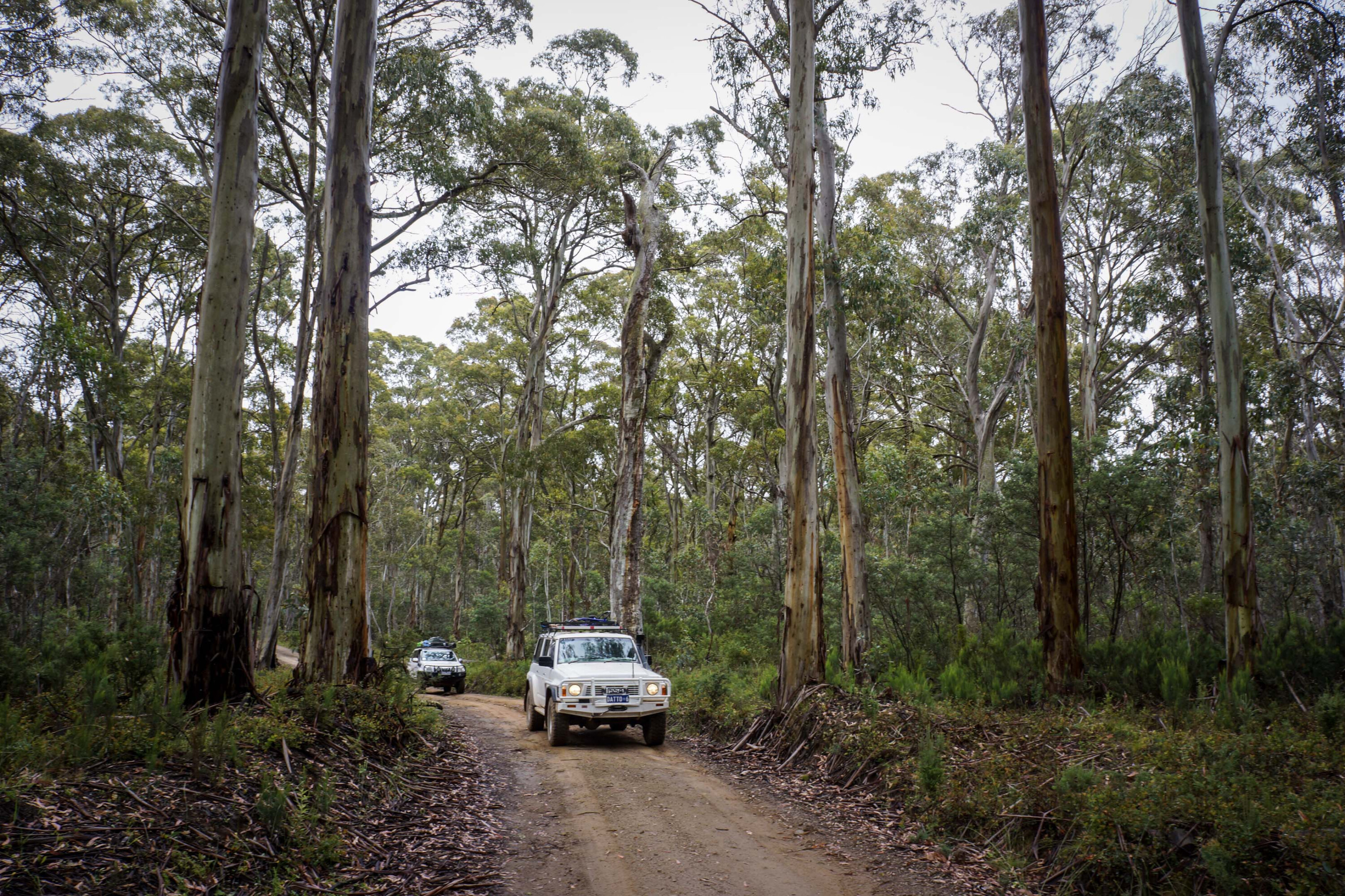
At the more major Limestone Road we turned east passing through more open grazing country to the edge of the Alpine NP, where we turned south once more, this time on the Nunniong Road.
This road south passes through forest that was devastated by bushfires some years back and while the trees have sprung back into life and there is a veil of green covering the scene the amount of fallen timber makes any excursion into the forest much more than a challenge, if not impossible. The winding route climbs higher, passing Blue Shirt Plains and entering snowgums as it ascends to the snowline.
The sweep of naturally cleared land that makes up the Nunniong Plain comes upon any traveller quite suddenly while the main sidetrack into the heart of the plain skirts close to the southern edge of the cleared area. The track is deeply rutted in places and diversions have chewed up the plain even more; please don’t make any other tracks when you visit this lovely spot, instead stick to the main route across the grassy veld.
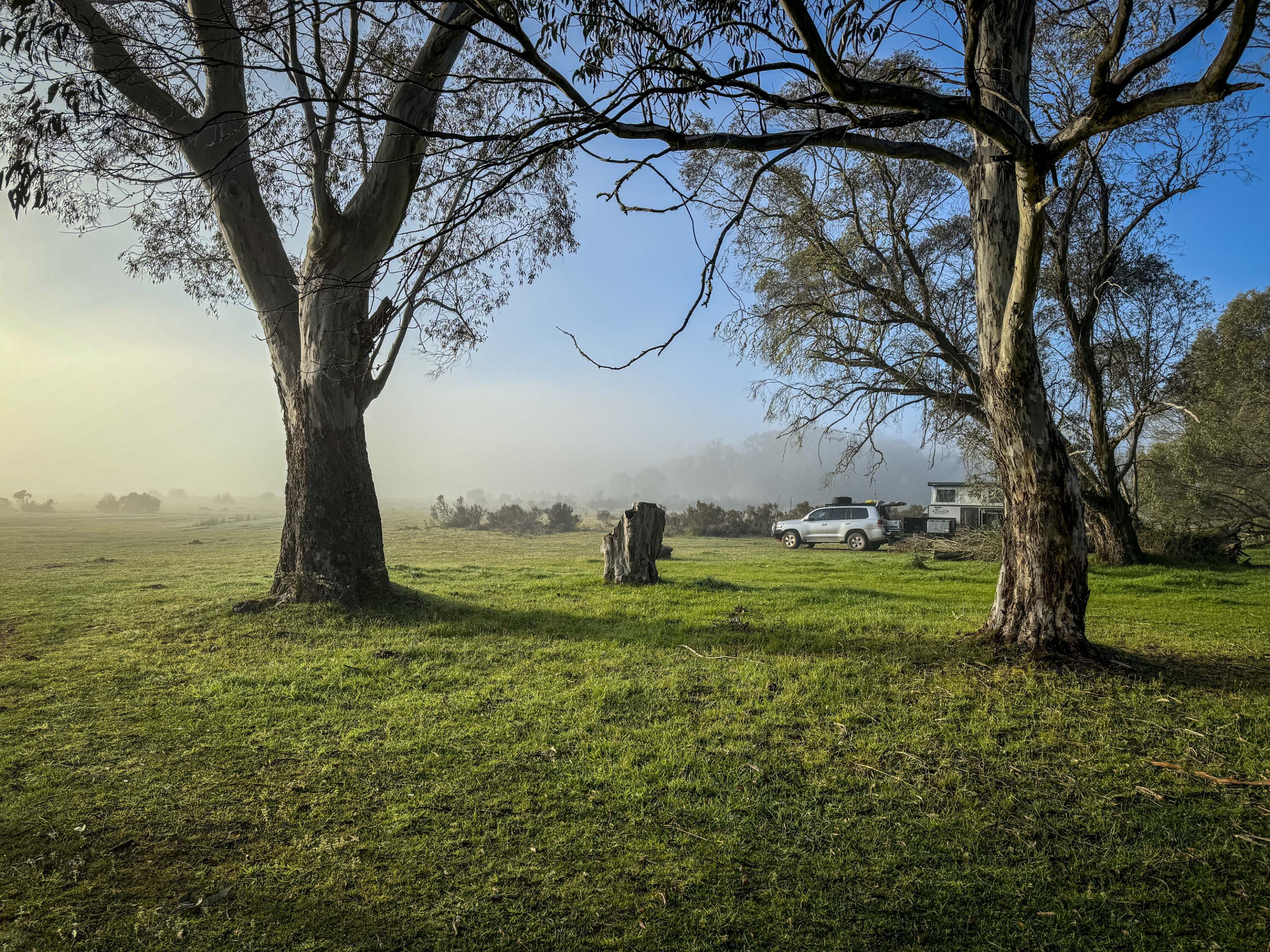
As usual we camped amongst the snow gums, where some ancient giants tower overhead to provide a modicum of protection from the often biting winds that blow in such high alpine places.
It’s a top spot and we spent our time watching the brumbies grazing as they came out of the protective scrub to feed on the grassy pastures. Oddly, we rarely saw any ’roos or wallabies here enjoying the green bonanza. In the early morning a blanket of mist often covers the grassland when ghostly apparitions turn into brumbies as the sun burns off the enveloping haze.
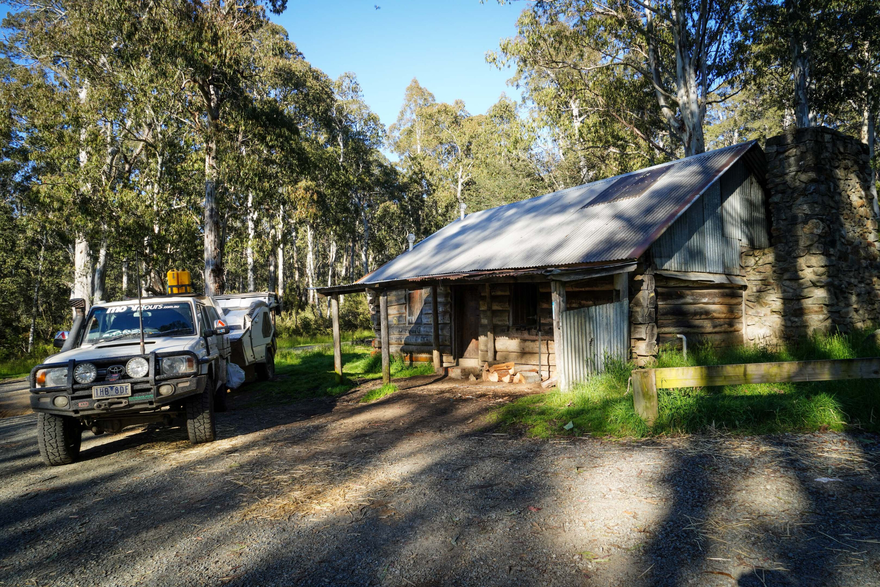
Once you can tear yourself away from this picturesque and emblematic spot that is pure High Country, the road south passes through an area that hasn’t seen any recent bushfires and the tall trees and understory are a real delight. We always head to Moscow Villa hut for at least a visit and to the nearby Bentley Plains camping area, which is well set up, especially for horse-riding groups as there is a horse yard and more located here.
Heading north-west from Moscow Villa a good forestry road leads past the impressive and historic Washington Winch. Once used in forestry operations to retrieve valuable timber from near inaccessible places, the information board located here shows the incredible and dangerous procedures workers had to contend with up until the 1960s to recover the valuable resource.
As I often say to first-time visitors to this spot, “You could put a million bucks on top of that winch post (in reality a tree that has been lopped off about 40m above ground level) and it would be safe from me!”
After a visit to Omeo for supplies and fuel and to soak up a little of the history of this gold-mining region we headed to Dog’s Grave, one of the most impressive tributes to man’s best friend that can be found anywhere. We then back-tracked a short distance to the Dinner Plain Track.
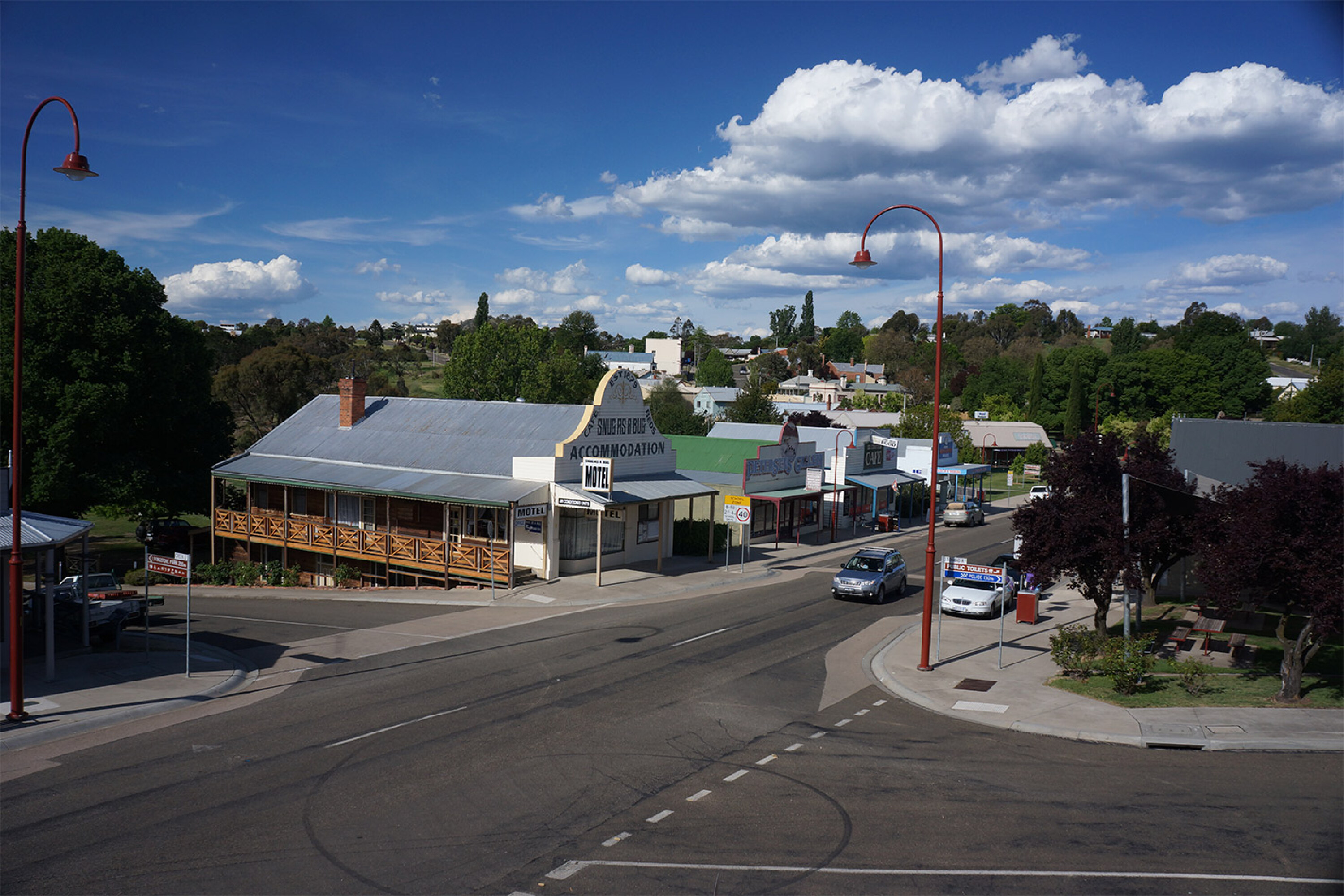
Normally this is an easy run, but early in the touring season, this track can have a few boggy sections, not helped by the rain that had plagued us from the start of our latest journey, and which can present a short and sharp challenge to those heading this way.
A section of bitumen took us over the top of Mount Hotham, the highest drivable road in Australia, and while Mount Hotham and its resort attract a lot of people it’s a place I drive through or bypass completely on my travels.
Turning onto the Dargo High Plains Road and with our Devils Hollow Camp closed off, we opted for a camp in a nearby gravel pit and then the next morning, with the weather promising a delightful sunny and clear day, we continued along the track to Blue Rag, one of the most iconic drives and views in the High Country.
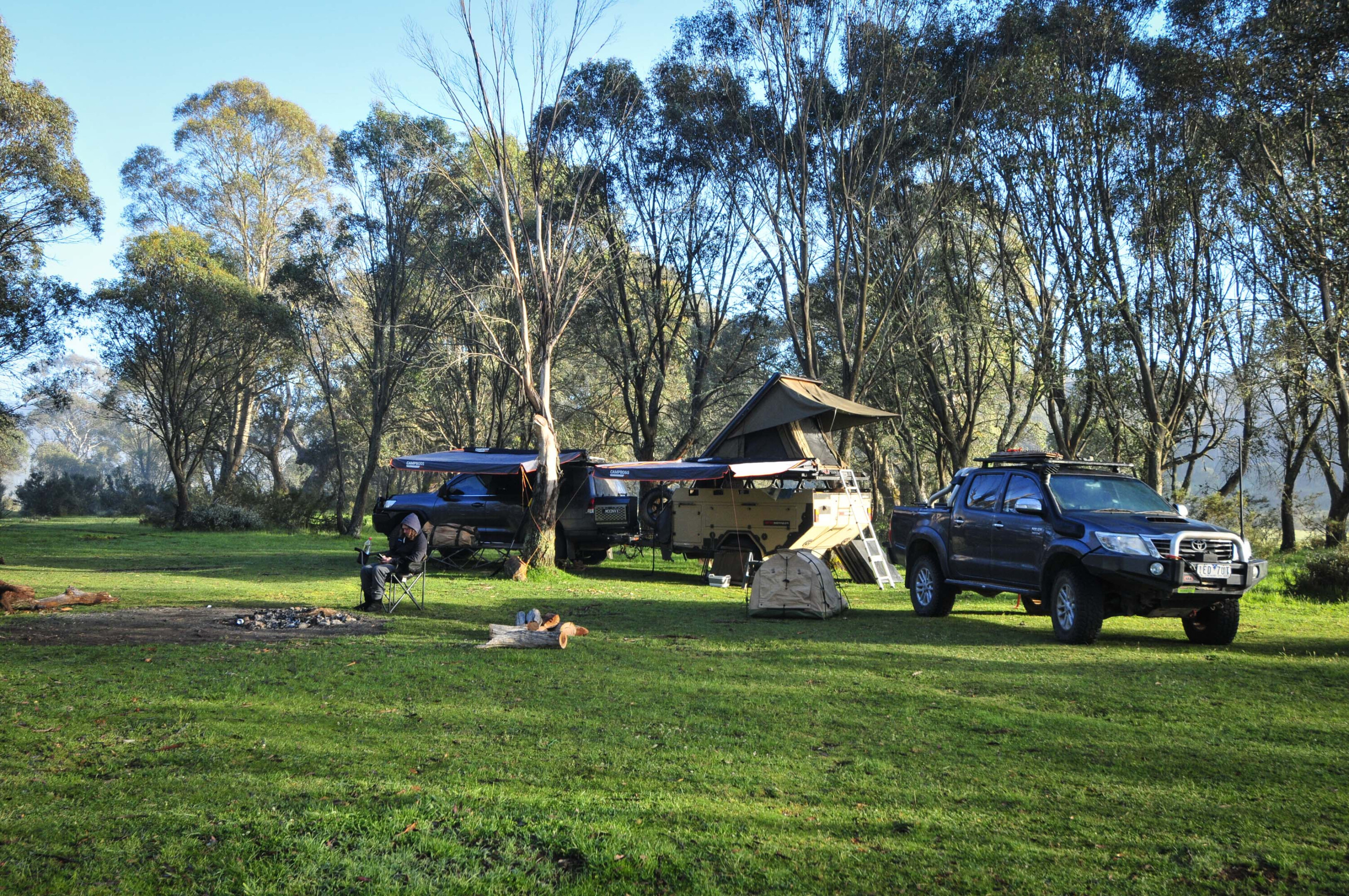
These days it’s rare to have the track to yourself, or the trig point from where the expansive view is at its best, but having a few other people around takes little away from the experience, and nothing at all from the grand vista.
From our Blue Rag jaunt we headed down the Dargo High Plains Road and camped behind the pub at Dargo. As per our self-instilled requirements we had a beer or two and a meal before retiring for the night, and on this latest trip I enjoyed one of the cabins at the pub, something I hadn’t relished since the huts were first built more than 20 years ago.
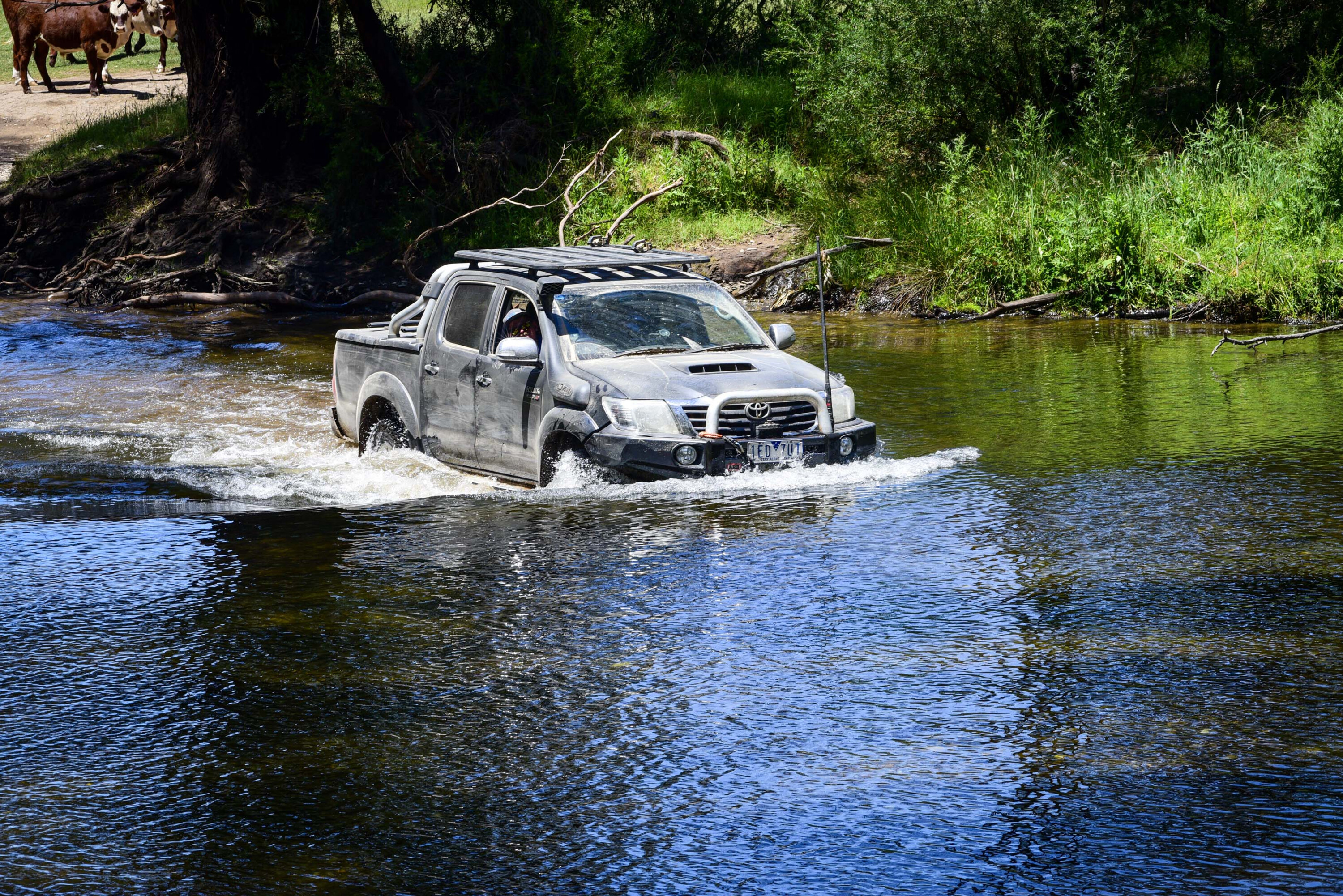
The next morning we headed to Talbotville via Crooked River, the narrow track and the numerous creek crossings coming in from the south being a series of delightful obstacles, but ones that can cause issues if the river is deeper than normal after heavy rains. Be warned!
Arriving at the cleared area that was once the township of Talbotville, we found a spot to set up camp, the number of others already doing the same surprising me as it was a weekday with not a holiday in sight.
Situated on the Crooked River, gold was first discovered near here in 1861 and Bulltown, some kilometres upstream and joined today by a challenging track and a climb up the Bulltown Spur, was the major town on the field. When mining interests turned to reef gold, Talbotville (originally called Ram Town) became the main settlement along the river.
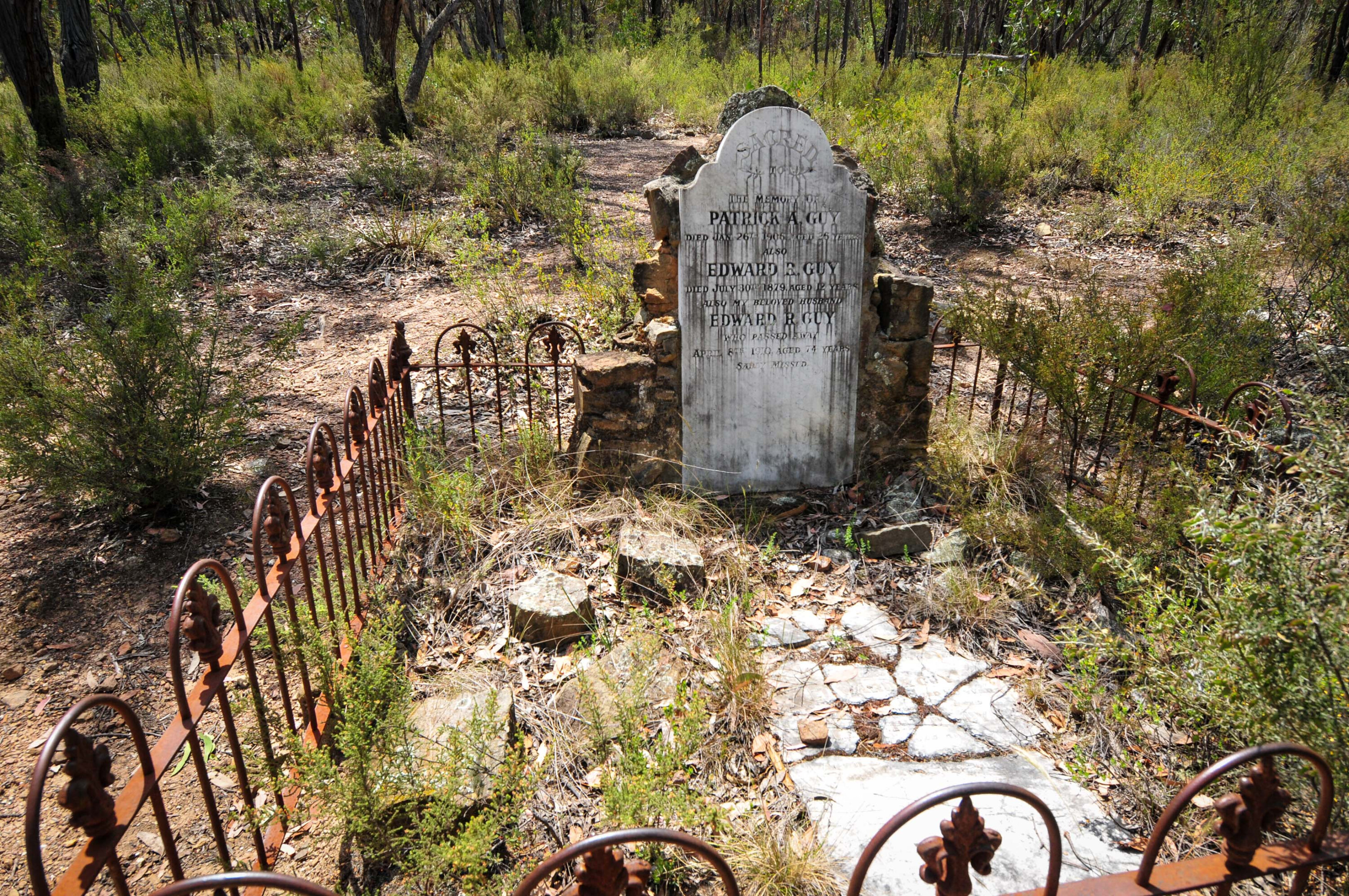
The gold though quickly ran out and the once bustling settlements along the river and up on the hills (Grant being the most substantial) were soon abandoned. Somehow, Talbotville hung on for longer than the rest with the last family leaving in 1950.
Today, it is a fabulous and popular camping area and a great stepping off place for some of the High Country’s most iconic places, including Billy Goat Bluff, the fabulous Wonnangatta Valley by some tough tracks, and even the pinnacle of Blue Rag by the challenging Brewery Creek Road.
With rain falling, wet slippery tracks to negotiate and our tour group having Tvan Campers, we opted for an easier and safer access to the Wonnangatta.
This ‘hidden valley’ deep within the alps is a spectacular spot loved by all who take the trouble to find their way into its verdant heart, where they’ll find various campsites dotted along the river that flows through the valley. Horse riding groups, four-wheeler drivers, hunters and fishermen all come to the Wonnangatta for the varying attractions it holds for each group.
There’s a lot of history here too, from the days when the valley was a shortcut for the pioneer miners wandering between the goldfields in Gippsland and the Howqua Hills, to cattlemen who brought their stock here via narrow bridle trails that wandered over the flank of Mount Howitt.
Then there were the murders back in 1916 and the more recent ones from just a few years back, but don’t let either of these events colour your opinion of this delightful valley and the attractions it holds.
We headed north back onto the Dargo High Plains Road passing, at one point, through the cattle-grazing lease of the Treasure family, which must be the highest grazing lease that still exists in the High Country. During a few months over summer small groups of Hereford cattle can be seen here, fat from the rich table of herbs and grasses they feed upon.
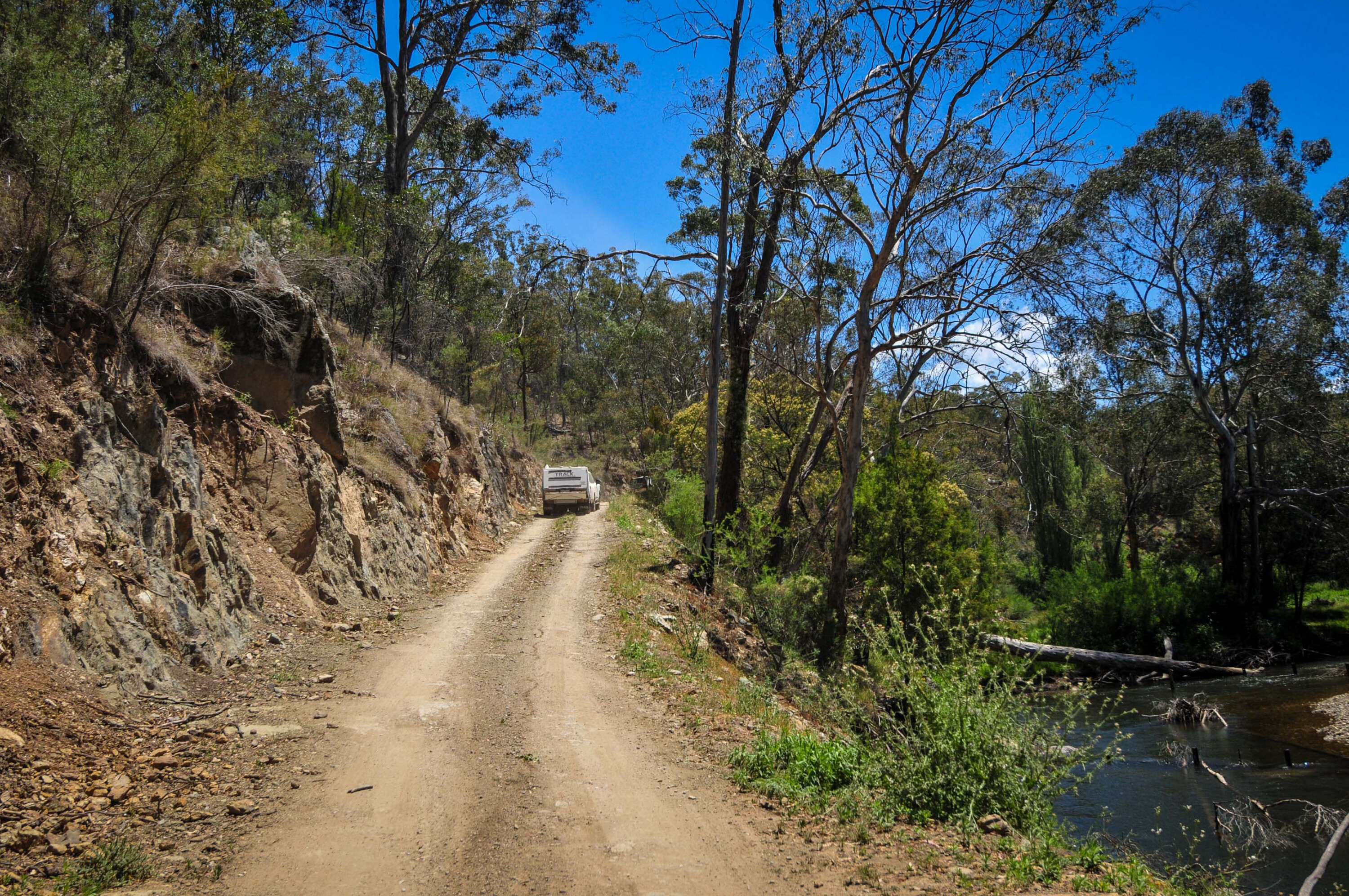
Just west of Mount Hotham we turned onto the tar for just a few metres before heading onto the Twins Jeep Track. After passing Mount Murray and meeting with the Mount Selwyn Road, once again our planned route was disrupted by an unlisted road closure at a bridge just down the hill.
With the rain still continuing we opted for an easy way out, turning our back on the heart of the High Country and heading down the long winding road into the Buckland Valley, where there are some delightful camps dotted along the river’s banks that was once the centre of the Buckland Goldfields.
Our travels through the heart of the High Country were over for this trip and once again the changing weather and fortunes highlighted the need to be flexible with our travel itinerary, but that is one of this region’s attractions. We’ll be back!
Some note title here
- Nunniong Plain
- Dog’s Grave
- Talbotville
- Blue Rag
- Twins Jeep Track
Some note title here
- Nunniong Plain
- Dog’s Grave
- Talbotville
- Blue Rag
- Twins Jeep Track
The best maps of the area are Hema Maps The Victorian High Country<\/em> (set of four) and the Hema guidebook of the same name.
For the latest on track closures, fire warnings and feral animal eradication area see www.parks.vic.gov.au.
We recommend
-
 Explore VIC
Jinxed in the Vic High Country
Ron Moon’s latest trip proves you need be prepared for anything when travelling Victoria’s High Country
-
 Opinion
Vanishings haunt the Vic High Country: The infamous Wonnangatta Murders
The Vic High Country is haunted by strange disappearances
-
 Explore VIC
Vic High Country episode 1 video: 4x4 Adventure Series
Exploring the area’s historic huts, in part one of the Vic High Country 4x4 Adventure Series.

